


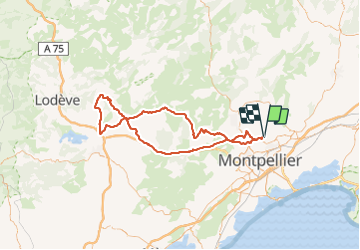
Clapiers St Jean de la Blaquière AR

ARVIEU
User

Length
113 km

Max alt
515 m

Uphill gradient
1721 m
Km-Effort
136 km

Min alt
40 m

Downhill gradient
1716 m
Boucle
Yes
Creation date :
2021-08-14 06:24:07.778
Updated on :
2021-08-14 06:25:29.308
5h00
Difficulty : Medium

FREE GPS app for hiking
 SityTrail
IGN / Geographical institutes
SityTrail Plus
The world is yours!
About
Trail Cycle of 113 km to be discovered at Occitania, Hérault, Clapiers. This trail is proposed by ARVIEU.
Positioning
Country:
France
Region :
Occitania
Department/Province :
Hérault
Municipality :
Clapiers
Location:
Unknown
Start:(Dec)
Start:(UTM)
571738 ; 4834184 (31T) N.
Comments