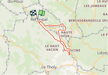
Le trou de l’enfer

francoisecarlier
User

Length
11.4 km

Max alt
706 m

Uphill gradient
318 m
Km-Effort
15.6 km

Min alt
502 m

Downhill gradient
318 m
Boucle
Yes
Creation date :
2021-08-14 09:50:56.0
Updated on :
2021-08-14 12:49:35.434
2h41
Difficulty : Very easy

FREE GPS app for hiking
 SityTrail
IGN / Geographical institutes
SityTrail Plus
The world is yours!
About
Trail Walking of 11.4 km to be discovered at Grand Est, Vosges, Rehaupal. This trail is proposed by francoisecarlier.
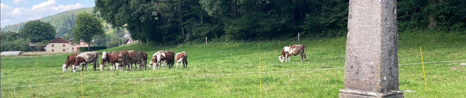
Photos


Positioning
Country:
France
Region :
Grand Est
Department/Province :
Vosges
Municipality :
Rehaupal
Location:
Unknown
Start:(Dec)
Start:(UTM)
331162 ; 5332101 (32U) N.
Comments