


mp fraize 2021

stempfel52
User GUIDE
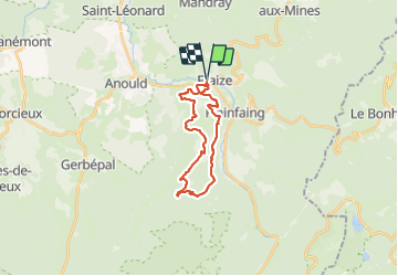

Length
21 km

Max alt
891 m

Uphill gradient
835 m
Km-Effort
32 km

Min alt
494 m

Downhill gradient
834 m
Boucle
Yes
Creation date :
2021-08-15 06:19:53.886
Updated on :
2021-08-16 10:55:48.519
6h14
Difficulty : Very difficult

FREE GPS app for hiking
 SityTrail
IGN / Geographical institutes
SityTrail Plus
The world is yours!
About
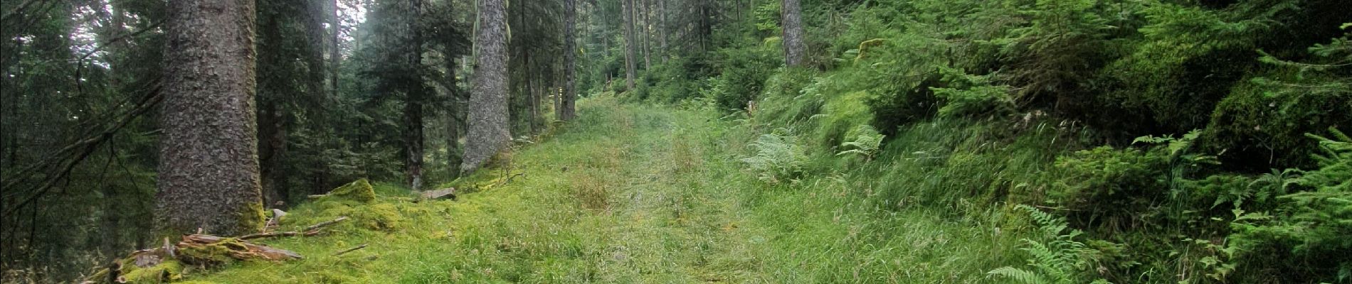
Trail Walking of 21 km to be discovered at Grand Est, Vosges, Fraize. This trail is proposed by stempfel52.
Photos


Positioning
Country:
France
Region :
Grand Est
Department/Province :
Vosges
Municipality :
Fraize
Location:
Unknown
Start:(Dec)
Start:(UTM)
351196 ; 5338979 (32U) N.
Comments