


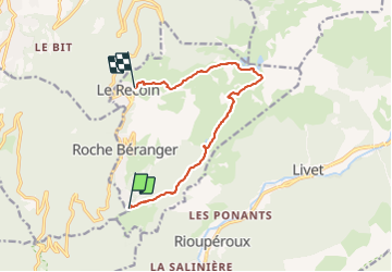
Belledonne Lac Achard Lacs Robert et Recoin

c.gourme
User

Length
10.7 km

Max alt
2171 m

Uphill gradient
578 m
Km-Effort
18.3 km

Min alt
1640 m

Downhill gradient
541 m
Boucle
No
Creation date :
2021-08-19 08:57:36.0
Updated on :
2021-08-19 14:16:23.817
4h25
Difficulty : Medium

FREE GPS app for hiking
 SityTrail
IGN / Geographical institutes
SityTrail Plus
The world is yours!
About
Trail Walking of 10.7 km to be discovered at Auvergne-Rhône-Alpes, Isère, Chamrousse. This trail is proposed by c.gourme.
Positioning
Country:
France
Region :
Auvergne-Rhône-Alpes
Department/Province :
Isère
Municipality :
Chamrousse
Location:
Unknown
Start:(Dec)
Start:(UTM)
726387 ; 4998043 (31T) N.
Comments