


Coutances

Roulland
User
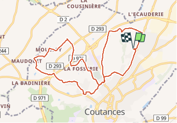

Length
10.6 km

Max alt
126 m

Uphill gradient
186 m
Km-Effort
13.1 km

Min alt
39 m

Downhill gradient
187 m
Boucle
Yes
Creation date :
2021-08-19 13:38:58.561
Updated on :
2021-08-19 15:44:53.349
2h03
Difficulty : Easy

FREE GPS app for hiking
 SityTrail
IGN / Geographical institutes
SityTrail Plus
The world is yours!
About
Trail Walking of 10.6 km to be discovered at Normandy, Manche, Coutances. This trail is proposed by Roulland.
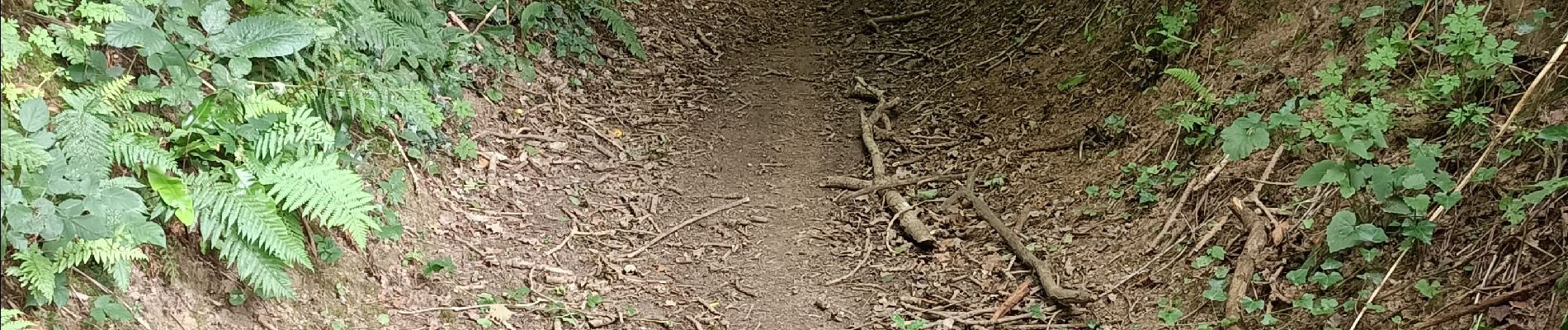
Photos


Positioning
Country:
France
Region :
Normandy
Department/Province :
Manche
Municipality :
Coutances
Location:
Unknown
Start:(Dec)
Start:(UTM)
614295 ; 5435556 (30U) N.
Comments