


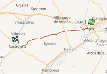

21 km | 25 km-effort


User


FREE GPS app for hiking
 SityTrail
IGN / Geographical institutes
SityTrail World
The world is yours!
Trail Walking of 29 km to be discovered at Castile and León, Unknown, Tardajos. This trail is proposed by webmammuth.
Compostelle - Camino Frances : J12 de Tardajos à Castrojeriz
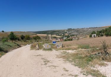
Walking

On foot