


Denis_BASSOT_2021-08-24_09-37-32 (1)

JackPG
User
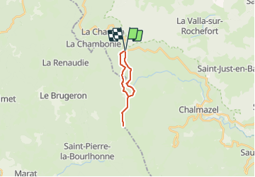

Length
13.8 km

Max alt
1423 m

Uphill gradient
280 m
Km-Effort
17.6 km

Min alt
1251 m

Downhill gradient
281 m
Boucle
Yes
Creation date :
2021-08-25 05:52:55.065
Updated on :
2021-08-25 05:55:10.13
3h59
Difficulty : Difficult

FREE GPS app for hiking
 SityTrail
IGN / Geographical institutes
SityTrail Plus
The world is yours!
About
Trail Walking of 13.8 km to be discovered at Auvergne-Rhône-Alpes, Loire, Chalmazel-Jeansagnière. This trail is proposed by JackPG.
Positioning
Country:
France
Region :
Auvergne-Rhône-Alpes
Department/Province :
Loire
Municipality :
Chalmazel-Jeansagnière
Location:
Jeansagnière
Start:(Dec)
Start:(UTM)
560656 ; 5065734 (31T) N.
Comments