


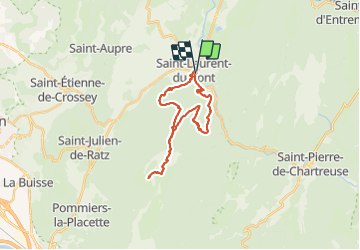


11.1 km | 17.4 km-effort

User


FREE GPS app for hiking
 SityTrail
IGN / Geographical institutes
SityTrail World
The world is yours!
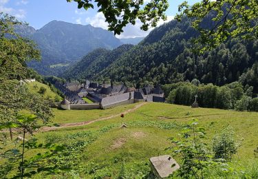
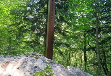
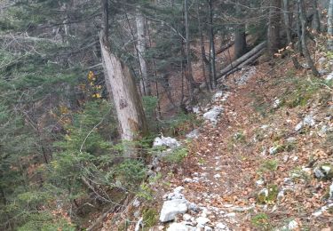
Trail Walking of 25 km to be discovered at Auvergne-Rhône-Alpes, Isère, Saint-Laurent-du-Pont. This trail is proposed by choubaka77.


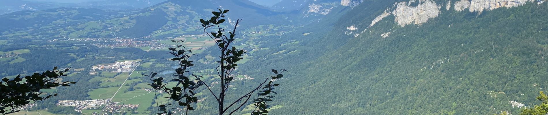
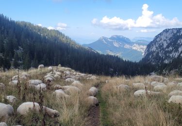
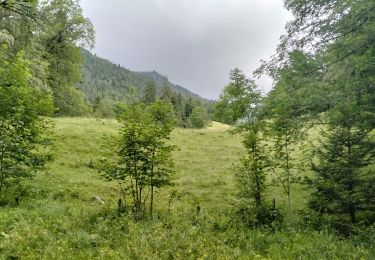
31 photos in total. Please click on a photo to see them all in the gallery.

Snowshoes

Walking

Walking

Walking
Walking
Walking
Walking
Walking
Walking