Trail Walking Guerlédan - GR_37_DG_27_Guerledan_Bon-Repos-Blavet_20210828 - Photo

GR_37_DG_27_Guerledan_Bon-Repos-Blavet_20210828

© OpenStreetMap contributors
Length
Length
19.5 km
Max alt
Max alt
181 m
Uphill gradient
Uphill gradient
347 m
Km-Effort
Km-Effort  
24 km
Min alt
Min alt
121 m
Downhill gradient
Downhill gradient
347 m
Boucle
Boucle
No
Creation date :
2021-08-28 08:33:03.116
Updated on :
2022-02-09 13:51:14.96

(0 Reviews)

Walking
Walking
6h33
Difficulty : Easy

Scan this QR Code to open this trail in the SityTrail application

FREE GPS app for hiking

Logo SityTrail SityTrail

IGN / Geographical institutes

Download SityTrail from the App Store Download SityTrail from Google Play

Logo SityTrail SityTrail World

The world is yours!

Download SityTrail from the App Store Download SityTrail from Google Play Download SityTrail on Huawei AppGallery

About

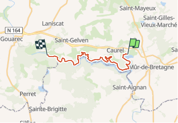
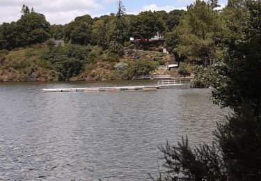
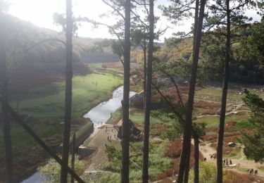
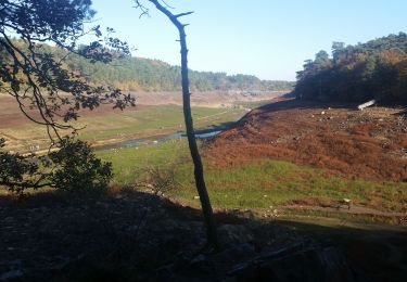
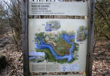
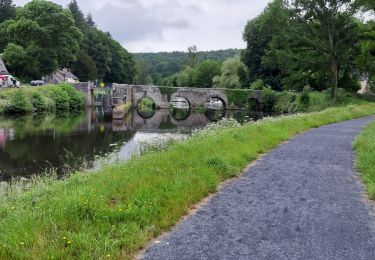
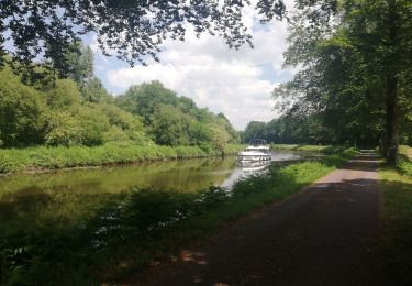
Trail Walking of 19.5 km to be discovered at Brittany, Côtes-d'Armor, Guerlédan. This trail is proposed by patrickdanilo.

Description

GR®37
Cœur de la Bretagne
Du Mont-Saint-Michel (Manche) Normandie
à Camaret-sur-Mer (Finistère) Bretagne

780km

Elevation profile

Photos

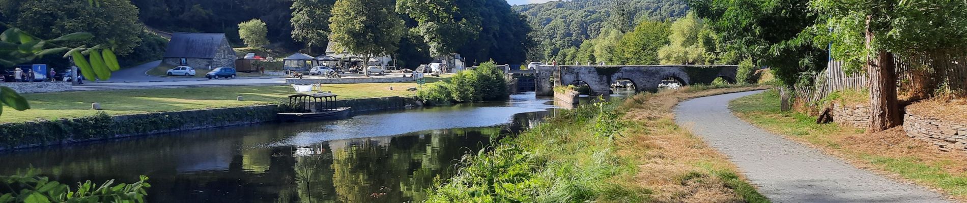
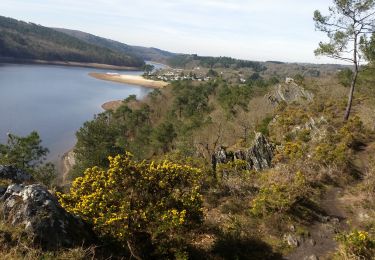
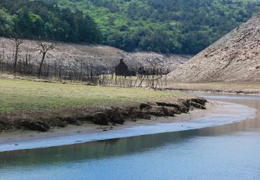
21 photos in total. Please click on a photo to see them all in the gallery.

Positioning

Country:
France
Region :
Brittany
Department/Province :
Côtes-d'Armor
Municipality :
Guerlédan
Location:
Mûr-de-Bretagne
Start:(UTM)
498632 ; 5339980 (30U) N.

Trails nearby

Trail Walking Caurel - PR_22_Caurel_AA_01_Circuit1b_Des-Landes-De-Caurel_20150308 - Photo
Walking
patrickdanilo

Walking

Medium
Caurel, Brittany, Côtes-d'Armor, France
14.3 km | 18.4 km-effort
4h 28min
Yes
Trail On foot Caurel - Bois de Caurel - Photo
On foot
PRO

On foot

Easy
Caurel, Brittany, Côtes-d'Armor, France
5.3 km | 6.8 km-effort
1h 32min
Yes
Trail Walking Guerlédan - Variante Guerledan bois de Cornnec Landronnec Voie verte - Photo
Walking
michelberrier

Walking

Very easy
Guerlédan, Brittany, Côtes-d'Armor, France
8.2 km | 10.8 km-effort
3h 8min
Yes
Trail Walking Bon Repos sur Blavet - PR_22_Bon-Repos_AA_01_Circuit4_Tregnanton-Et-Lac-Assec_20151025 - Photo
Walking
patrickdanilo

Walking

Easy
Bon Repos sur Blavet, Brittany, Côtes-d'Armor, France
10 km | 11.8 km-effort
2h 34min
Yes
Trail Walking Saint-Aignan - GUERLEDAN_02_SORDAN_LAC-A-SEC - Photo
Walking
patrickdanilo

Walking

Easy
Saint-Aignan, Brittany, Morbihan, France
24 km | 29 km-effort
5h 22min
No
Trail Walking Saint-Aignan - Lac de Guerlédan rive sud - Saint Aignan - Photo
Walking
tracegps

Walking

Medium
(2)
Saint-Aignan, Brittany, Morbihan, France
15.5 km | 21 km-effort
4h 30min
Yes
Trail Walking Guerlédan - Lac de Guerlédan rive Nord - Landroanec - Photo
Walking
tracegps

Walking

Difficult
Guerlédan, Brittany, Côtes-d'Armor, France
16.8 km | 21 km-effort
5h 0min
Yes
Trail Walking Saint-Aignan - guerledan - Photo
Walking
jimmy46

Walking

Medium
Saint-Aignan, Brittany, Morbihan, France
18.9 km | 23 km-effort
3h 39min
Yes
Trail Hybrid bike Guerlédan - Mur de Bretagne Josselin - Photo
Hybrid bike
Roulland

Hybrid bike

Easy
Guerlédan, Brittany, Côtes-d'Armor, France
74 km | 81 km-effort
4h 9min
No


Close
My subscriptions