


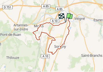
Montbazon - Sorigny Monts GR46A GR655 - 29.6km 210m 6h20 (25mn) - 2021 08 28

Orcal37
User GUIDE

Length
30 km

Max alt
103 m

Uphill gradient
214 m
Km-Effort
32 km

Min alt
54 m

Downhill gradient
214 m
Boucle
Yes
Creation date :
2021-08-28 09:20:05.555
Updated on :
2021-08-30 09:24:47.136
6h20
Difficulty : Easy

FREE GPS app for hiking
 SityTrail
IGN / Geographical institutes
SityTrail Plus
The world is yours!
About
Trail Walking of 30 km to be discovered at Centre-Loire Valley, Indre-et-Loire, Montbazon. This trail is proposed by Orcal37.
Description
Montbazon - Sorigny Monts GR46A GR655 - 29.6km 210m 6h20 (25mn) - 2021 08 28
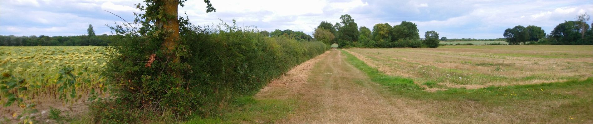
Photos
 - 2021 08 28 - Photo 1")
 - 2021 08 28 - Photo 2")
 - 2021 08 28 - Photo 3")
 - 2021 08 28 - Photo 4")
 - 2021 08 28 - Photo 5")
Positioning
Country:
France
Region :
Centre-Loire Valley
Department/Province :
Indre-et-Loire
Municipality :
Montbazon
Location:
Unknown
Start:(Dec)
Start:(UTM)
326628 ; 5238866 (31T) N.
Comments