


Château - Verdilly du 29-08-2021

VANDERPUTTENMi
User GUIDE


Length
15.6 km

Max alt
223 m

Uphill gradient
325 m
Km-Effort
19.9 km

Min alt
57 m

Downhill gradient
325 m
Boucle
Yes
Creation date :
2021-08-29 06:32:41.665
Updated on :
2021-08-29 16:33:41.73
3h19
Difficulty : Very difficult

FREE GPS app for hiking
 SityTrail
IGN / Geographical institutes
SityTrail Plus
The world is yours!
About
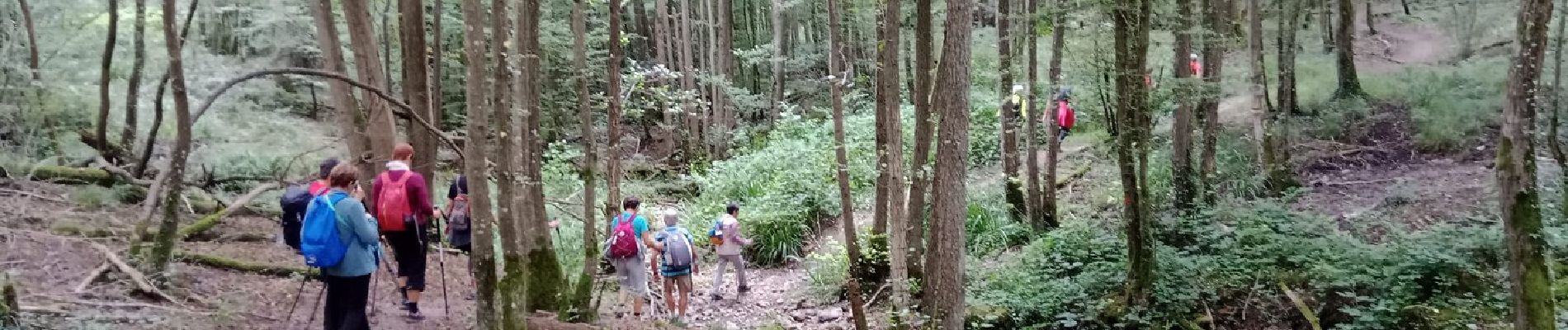
Trail Walking of 15.6 km to be discovered at Hauts-de-France, Aisne, Château-Thierry. This trail is proposed by VANDERPUTTENMi.
Photos

Positioning
Country:
France
Region :
Hauts-de-France
Department/Province :
Aisne
Municipality :
Château-Thierry
Location:
Unknown
Start:(Dec)
Start:(UTM)
529083 ; 5432443 (31U) N.
Comments