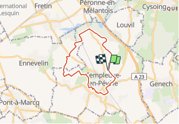
Templeuve et son Moulin

temjacques
User

Length
11.3 km

Max alt
54 m

Uphill gradient
55 m
Km-Effort
12.1 km

Min alt
26 m

Downhill gradient
57 m
Boucle
Yes
Creation date :
2021-08-30 14:09:57.31
Updated on :
2021-08-30 14:11:48.72
2h44
Difficulty : Difficult

FREE GPS app for hiking
 SityTrail
IGN / Geographical institutes
SityTrail Plus
The world is yours!
About
Trail Walking of 11.3 km to be discovered at Hauts-de-France, Nord, Templeuve-en-Pévèle. This trail is proposed by temjacques.
Positioning
Country:
France
Region :
Hauts-de-France
Department/Province :
Nord
Municipality :
Templeuve-en-Pévèle
Location:
Unknown
Start:(Dec)
Start:(UTM)
512586 ; 5598268 (31U) N.
Comments