


Puy de Vichatel depuis la Garandie

walrou63
User
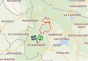

Length
10.6 km

Max alt
1086 m

Uphill gradient
306 m
Km-Effort
14.7 km

Min alt
953 m

Downhill gradient
307 m
Boucle
Yes
Creation date :
2021-08-30 11:55:30.145
Updated on :
2021-08-30 14:20:41.243
2h23
Difficulty : Difficult

FREE GPS app for hiking
 SityTrail
IGN / Geographical institutes
SityTrail Plus
The world is yours!
About
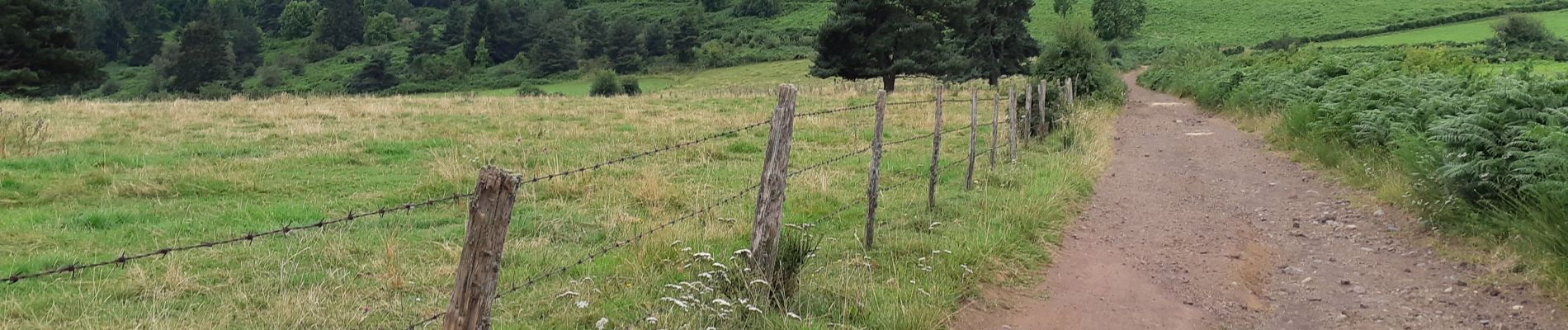
Trail Walking of 10.6 km to be discovered at Auvergne-Rhône-Alpes, Puy-de-Dôme, Aydat. This trail is proposed by walrou63.
Photos


26 photos in total. Please click on a photo to see them all in the gallery.
Positioning
Country:
France
Region :
Auvergne-Rhône-Alpes
Department/Province :
Puy-de-Dôme
Municipality :
Aydat
Location:
Unknown
Start:(Dec)
Start:(UTM)
495940 ; 5056565 (31T) N.
Comments