


GR65 La Romieu > Condom

choubaka77
User
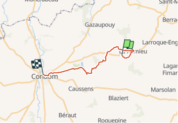

Length
16.3 km

Max alt
217 m

Uphill gradient
289 m
Km-Effort
21 km

Min alt
80 m

Downhill gradient
408 m
Boucle
No
Creation date :
2021-09-01 06:24:00.0
Updated on :
2021-09-01 13:57:01.474
6h00
Difficulty : Easy

FREE GPS app for hiking
 SityTrail
IGN / Geographical institutes
SityTrail Plus
The world is yours!
About
Trail Walking of 16.3 km to be discovered at Occitania, Gers, La Romieu. This trail is proposed by choubaka77.
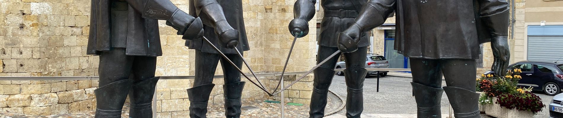
Photos


28 photos in total. Please click on a photo to see them all in the gallery.
Positioning
Country:
France
Region :
Occitania
Department/Province :
Gers
Municipality :
La Romieu
Location:
Unknown
Start:(Dec)
Start:(UTM)
298042 ; 4872437 (31T) N.
Comments