


GR 65 Condom > Montréal

choubaka77
User
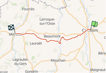

Length
18.7 km

Max alt
180 m

Uphill gradient
309 m
Km-Effort
23 km

Min alt
72 m

Downhill gradient
274 m
Boucle
No
Creation date :
2021-09-02 06:36:48.0
Updated on :
2021-09-02 12:49:27.105
5h37
Difficulty : Easy

FREE GPS app for hiking
 SityTrail
IGN / Geographical institutes
SityTrail Plus
The world is yours!
About
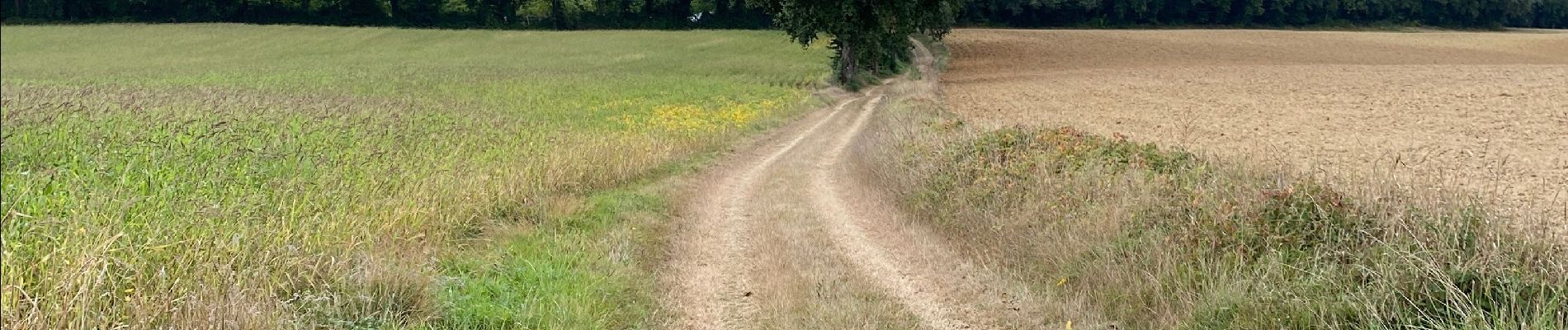
Trail Walking of 18.7 km to be discovered at Occitania, Gers, Condom. This trail is proposed by choubaka77.
Photos


Positioning
Country:
France
Region :
Occitania
Department/Province :
Gers
Municipality :
Condom
Location:
Unknown
Start:(Dec)
Start:(UTM)
289435 ; 4870298 (31T) N.
Comments