


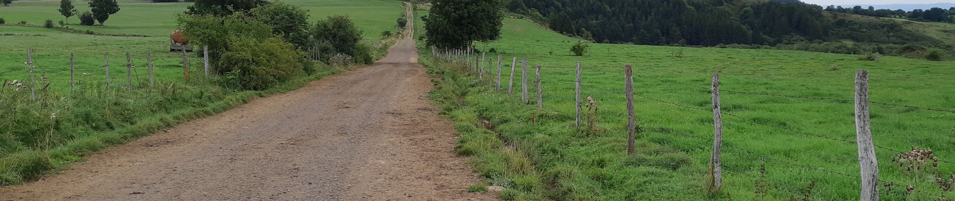
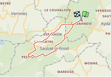
Pessade depuis la Garandie

walrou63
User

Length
14.5 km

Max alt
1177 m

Uphill gradient
289 m
Km-Effort
18.3 km

Min alt
988 m

Downhill gradient
290 m
Boucle
Yes
Creation date :
2021-09-02 08:53:16.827
Updated on :
2021-09-02 14:36:27.359
4h05
Difficulty : Difficult

FREE GPS app for hiking
 SityTrail
IGN / Geographical institutes
SityTrail Plus
The world is yours!
About
Trail Walking of 14.5 km to be discovered at Auvergne-Rhône-Alpes, Puy-de-Dôme, Aydat. This trail is proposed by walrou63.
Photos


Positioning
Country:
France
Region :
Auvergne-Rhône-Alpes
Department/Province :
Puy-de-Dôme
Municipality :
Aydat
Location:
Unknown
Start:(Dec)
Start:(UTM)
495936 ; 5056557 (31T) N.
Comments