


Voie verte au Puy en Velay

pauldurand
User
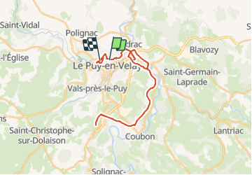

Length
34 km

Max alt
885 m

Uphill gradient
568 m
Km-Effort
41 km

Min alt
596 m

Downhill gradient
560 m
Boucle
No
Creation date :
2021-09-02 11:37:36.0
Updated on :
2021-09-02 15:15:25.848
3h38
Difficulty : Medium

FREE GPS app for hiking
 SityTrail
IGN / Geographical institutes
SityTrail Plus
The world is yours!
About
Trail Road bike of 34 km to be discovered at Auvergne-Rhône-Alpes, Haute-Loire, Aiguilhe. This trail is proposed by pauldurand.
Description
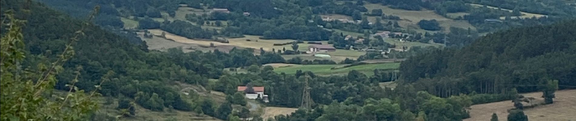
Ancienne voie ferrée tout en montée
Revêtement en sable
Passe un tunnel
Photos


Positioning
Country:
France
Region :
Auvergne-Rhône-Alpes
Department/Province :
Haute-Loire
Municipality :
Aiguilhe
Location:
Unknown
Start:(Dec)
Start:(UTM)
569922 ; 4988881 (31T) N.
Comments