


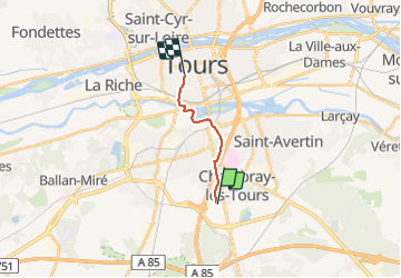
Chambray-lès-Tours - de la Vrillonnerie Marsin à Tours Prébendes - 8.8km 55m95 1h50 - 2021 09 03

Orcal37
User GUIDE

Length
8.6 km

Max alt
97 m

Uphill gradient
57 m
Km-Effort
9.5 km

Min alt
46 m

Downhill gradient
93 m
Boucle
No
Creation date :
2021-09-03 14:05:02.754
Updated on :
2021-10-12 16:51:29.93
1h50
Difficulty : Very easy

FREE GPS app for hiking
 SityTrail
IGN / Geographical institutes
SityTrail Plus
The world is yours!
About
Trail Walking of 8.6 km to be discovered at Centre-Loire Valley, Indre-et-Loire, Chambray-lès-Tours. This trail is proposed by Orcal37.
Description
Chambray-lès-Tours - de la Vrillonnerie Marsin à Tours Prébendes - 8.8km 55m95 1h50 - 2021 09 03
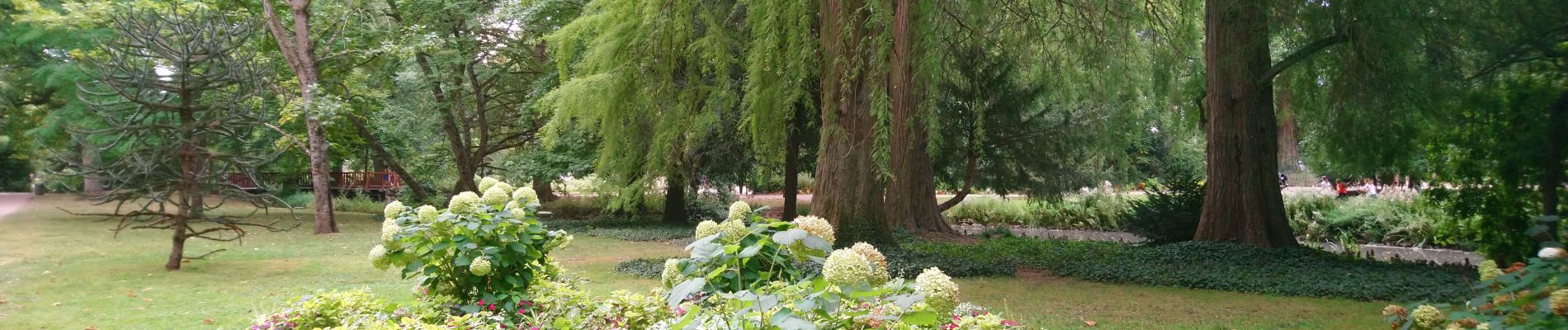
Photos


Positioning
Country:
France
Region :
Centre-Loire Valley
Department/Province :
Indre-et-Loire
Municipality :
Chambray-lès-Tours
Location:
Unknown
Start:(Dec)
Start:(UTM)
326412 ; 5244533 (31T) N.
Comments