


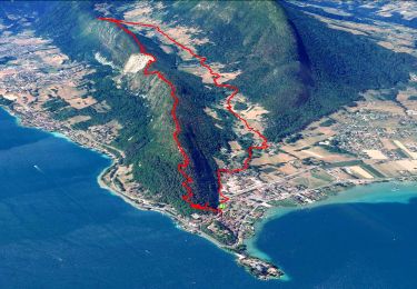
27 km | 31 km-effort

User


FREE GPS app for hiking
 SityTrail
IGN / Geographical institutes
SityTrail World
The world is yours!
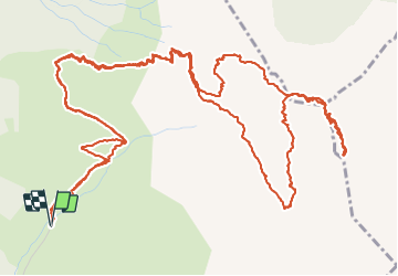
Trail Walking of 11 km to be discovered at Auvergne-Rhône-Alpes, Upper Savoy, Talloires-Montmin. This trail is proposed by djeepee74.
BOUCLE... live 20210905
Départ à la frontale à 06:00 depuis le parking du refuge de Pré Vérel.
Montée: Chalet de l'Aulp... après le replat, prendre à gauche le sentier juste avant les chalets du Casset... puis grimper Les Varos (quelques pas d'escalade)... arrivée au sommet de la Tournette 09:15
Descente: "voie normale", puis refuge de la Tournette (ou Blonay Dufour)... arrivée à Pré Vérel 12:15


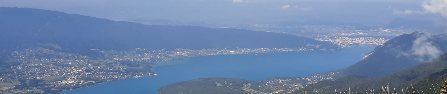
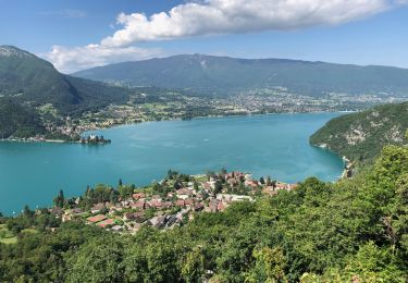
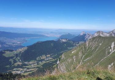
24 photos in total. Please click on a photo to see them all in the gallery.

Mountain bike

Walking
Walking
Walking

Walking

Cycle

Walking
Walking
Walking