


Lac De L'Hyvernet depart Pres Clos 614+

claude nier
User
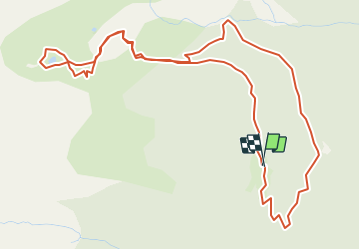

Length
6.9 km

Max alt
2371 m

Uphill gradient
614 m
Km-Effort
15.1 km

Min alt
1731 m

Downhill gradient
633 m
Boucle
Yes
Creation date :
2021-09-09 13:16:41.951
Updated on :
2021-09-09 13:18:11.019
3h26
Difficulty : Difficult

FREE GPS app for hiking
 SityTrail
IGN / Geographical institutes
SityTrail Plus
The world is yours!
About
Trail Walking of 6.9 km to be discovered at Provence-Alpes-Côte d'Azur, Hautes-Alpes, Embrun. This trail is proposed by claude nier.
Description
petite rando sympa
a faire absolument
jolie lac
Positioning
Country:
France
Region :
Provence-Alpes-Côte d'Azur
Department/Province :
Hautes-Alpes
Municipality :
Embrun
Location:
Unknown
Start:(Dec)
Start:(UTM)
298741 ; 4940993 (32T) N.
Comments