


Ttt

adamfv
User
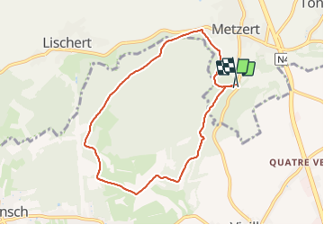

Length
7.2 km

Max alt
430 m

Uphill gradient
147 m
Km-Effort
9.2 km

Min alt
362 m

Downhill gradient
151 m
Boucle
Yes
Creation date :
2021-09-11 08:14:56.0
Updated on :
2021-09-11 09:34:09.943
1h19
Difficulty : Medium

FREE GPS app for hiking
 SityTrail
IGN / Geographical institutes
SityTrail Plus
The world is yours!
About
Trail Walking of 7.2 km to be discovered at Wallonia, Luxembourg, Attert. This trail is proposed by adamfv.
Description
Uuu
Positioning
Country:
Belgium
Region :
Wallonia
Department/Province :
Luxembourg
Municipality :
Attert
Location:
Unknown
Start:(Dec)
Start:(UTM)
701147 ; 5510809 (31U) N.
Comments