


GR_559_AA_01_Montaigu_Verges_20210912

patrickdanilo
User
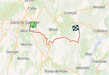

Length
14.5 km

Max alt
554 m

Uphill gradient
329 m
Km-Effort
18.6 km

Min alt
306 m

Downhill gradient
243 m
Boucle
No
Creation date :
2021-09-12 07:50:18.949
Updated on :
2022-02-09 10:46:05.499
4h16
Difficulty : Medium

FREE GPS app for hiking
 SityTrail
IGN / Geographical institutes
SityTrail Plus
The world is yours!
About
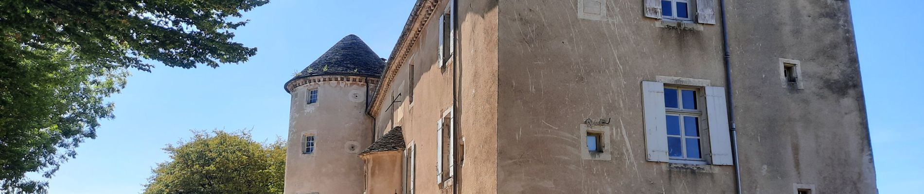
Trail Walking of 14.5 km to be discovered at Bourgogne-Franche-Comté, Jura, Montaigu. This trail is proposed by patrickdanilo.
Description
GR®559
Le Jura d'Ouest en Est
de Montaigu (Jura) Bourgogne-Franche-Comté
aux Rousses (Jura) Bourgogne-Franche-Comté
82,8km
Photos


Positioning
Country:
France
Region :
Bourgogne-Franche-Comté
Department/Province :
Jura
Municipality :
Montaigu
Location:
Unknown
Start:(Dec)
Start:(UTM)
696486 ; 5170431 (31T) N.
Comments