


Milobre de Bouisse

caccini
User
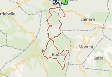

Length
19.1 km

Max alt
874 m

Uphill gradient
673 m
Km-Effort
28 km

Min alt
591 m

Downhill gradient
679 m
Boucle
Yes
Creation date :
2021-09-19 07:14:53.806
Updated on :
2021-09-19 14:23:41.122
6h26
Difficulty : Medium

FREE GPS app for hiking
 SityTrail
IGN / Geographical institutes
SityTrail Plus
The world is yours!
About
Trail Walking of 19.1 km to be discovered at Occitania, Aude, Lairière. This trail is proposed by caccini.
Description
Randonnée
Positioning
Country:
France
Region :
Occitania
Department/Province :
Aude
Municipality :
Lairière
Location:
Unknown
Start:(Dec)
Start:(UTM)
455552 ; 4763691 (31T) N.
Comments