


Gorges de St Pierre-21-09-21

Christiancordin
User
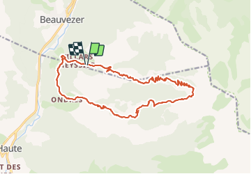

Length
20 km

Max alt
2257 m

Uphill gradient
1233 m
Km-Effort
37 km

Min alt
1169 m

Downhill gradient
1237 m
Boucle
Yes
Creation date :
2021-09-21 07:13:50.08
Updated on :
2021-09-25 14:40:23.262
5h21
Difficulty : Difficult

FREE GPS app for hiking
 SityTrail
IGN / Geographical institutes
SityTrail Plus
The world is yours!
About
Trail Walking of 20 km to be discovered at Provence-Alpes-Côte d'Azur, Alpes-de-Haute-Provence, Beauvezer. This trail is proposed by Christiancordin.
Description
Villars heyssier-chapelle St pierre-gorges de St Pierre-cabane de Gongerman-plateau de Pisse-en l'air-col de l'Orgéas-Ondres-le Plan.
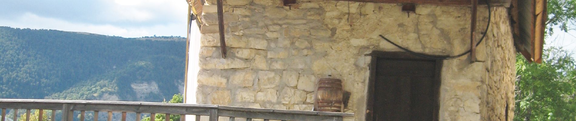
Photos


Positioning
Country:
France
Region :
Provence-Alpes-Côte d'Azur
Department/Province :
Alpes-de-Haute-Provence
Municipality :
Beauvezer
Location:
Unknown
Start:(Dec)
Start:(UTM)
308345 ; 4888723 (32T) N.
Comments