


Mazères les oiseaux dep ville

pidjam
User
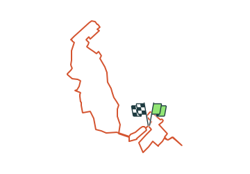

Length
11.3 km

Max alt
245 m

Uphill gradient
79 m
Km-Effort
12.4 km

Min alt
218 m

Downhill gradient
78 m
Boucle
Yes
Creation date :
2021-09-22 12:38:04.761
Updated on :
2021-09-22 12:38:59.333
2h48
Difficulty : Difficult

FREE GPS app for hiking
 SityTrail
IGN / Geographical institutes
SityTrail Plus
The world is yours!
About
Trail Walking of 11.3 km to be discovered at Occitania, Ariège, Mazères. This trail is proposed by pidjam.
Description
la rando "Mazères domaine des oiseaux" avec un départ décalé en centre-ville et un tour de la ville pour l'après midi.
Positioning
Country:
France
Region :
Occitania
Department/Province :
Ariège
Municipality :
Mazères
Location:
Unknown
Start:(Dec)
Start:(UTM)
392596 ; 4789625 (31T) N.
Comments