Trail Walking Colmars - Tête et col de l'Encombrette-22-09-21 - Photo

Tête et col de l'Encombrette-22-09-21

© OpenStreetMap contributors
Length
Length
22 km
Max alt
Max alt
2546 m
Uphill gradient
Uphill gradient
1399 m
Km-Effort
Km-Effort  
41 km
Min alt
Min alt
1450 m
Downhill gradient
Downhill gradient
1399 m
Boucle
Boucle
Yes
Creation date :
2021-09-22 07:21:01.907
Updated on :
2021-09-24 12:13:35.581

(0 Reviews)

Walking
Walking
6h08
Difficulty : Difficult

Scan this QR Code to open this trail in the SityTrail application

FREE GPS app for hiking

Logo SityTrail SityTrail

IGN / Geographical institutes

Download SityTrail from the App Store Download SityTrail from Google Play

Logo SityTrail SityTrail Plus

The world is yours!

Download SityTrail from the App Store Download SityTrail from Google Play Download SityTrail on Huawei AppGallery

About

Trail Walking of 22 km to be discovered at Provence-Alpes-Côte d'Azur, Alpes-de-Haute-Provence, Colmars. This trail is proposed by Christiancordin.

Description

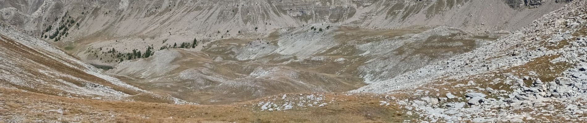
Pk rte de Clignon Haut-Clignon Haut-les Costes-GR de pays du haut Verdon-pas de l'Echelle-cabane de l'Encombrette-lacs de l'Encombrette-tête de l'Encombrette-col de l'Encombrette.

Elevation profile

Photos

Positioning

Country:
France
Region :
Provence-Alpes-Côte d'Azur
Department/Province :
Alpes-de-Haute-Provence
Municipality :
Colmars
Location:
Unknown
Start:(UTM)
311491 ; 4896583 (32T) N.


Close
My subscriptions