


rindschleiden

semila
User
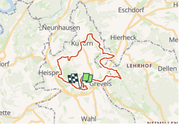

Length
14.1 km

Max alt
531 m

Uphill gradient
321 m
Km-Effort
18.3 km

Min alt
413 m

Downhill gradient
321 m
Boucle
Yes
Creation date :
2021-09-21 07:43:29.995
Updated on :
2023-05-28 08:31:55.994
4h09
Difficulty : Difficult

FREE GPS app for hiking
 SityTrail
IGN / Geographical institutes
SityTrail Plus
The world is yours!
About
Trail Walking of 14.1 km to be discovered at Unknown, Canton Redange, Wahl. This trail is proposed by semila.
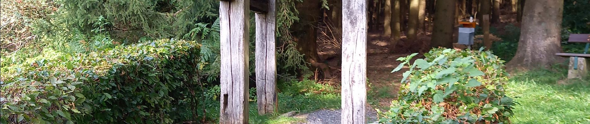
Photos


Positioning
Country:
Luxembourg
Region :
Unknown
Department/Province :
Canton Redange
Municipality :
Wahl
Location:
Unknown
Start:(Dec)
Start:(UTM)
708474 ; 5525878 (31U) N.
Comments