


Malines out and in 20 km

rvapeldo
User GUIDE
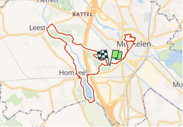

Length
21 km

Max alt
14 m

Uphill gradient
133 m
Km-Effort
23 km

Min alt
-5 m

Downhill gradient
133 m
Boucle
Yes
Creation date :
2021-09-25 07:33:32.0
Updated on :
2021-09-25 14:50:40.326
6h31
Difficulty : Easy

FREE GPS app for hiking
 SityTrail
IGN / Geographical institutes
SityTrail Plus
The world is yours!
About
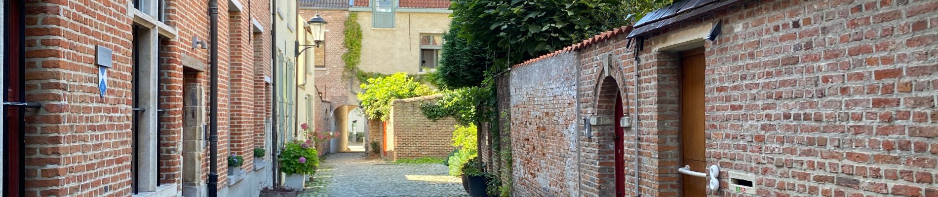
Trail Walking of 21 km to be discovered at Flanders, Antwerp, Mechelen. This trail is proposed by rvapeldo.
Photos


Positioning
Country:
Belgium
Region :
Flanders
Department/Province :
Antwerp
Municipality :
Mechelen
Location:
Mechelen
Start:(Dec)
Start:(UTM)
602693 ; 5652923 (31U) N.
Comments