


Belledonne Le Grand Sorbier

c.gourme
User

Length
13.1 km

Max alt
2485 m

Uphill gradient
1081 m
Km-Effort
28 km

Min alt
1680 m

Downhill gradient
1082 m
Boucle
Yes
Creation date :
2021-09-28 06:07:36.0
Updated on :
2021-09-29 14:06:06.789
7h16
Difficulty : Medium

FREE GPS app for hiking
 SityTrail
IGN / Geographical institutes
SityTrail Plus
The world is yours!
About
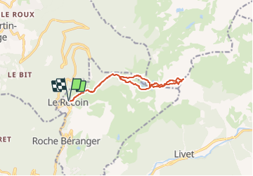
Trail Walking of 13.1 km to be discovered at Auvergne-Rhône-Alpes, Isère, Chamrousse. This trail is proposed by c.gourme.
Description
Ne pas rentrer par la Brèche sud. pas d'intérêt. Rentrer directement à droite du lac Robert direction Le Recoin
Positioning
Country:
France
Region :
Auvergne-Rhône-Alpes
Department/Province :
Isère
Municipality :
Chamrousse
Location:
Unknown
Start:(Dec)
Start:(UTM)
726315 ; 5001024 (31T) N.
Comments