


Nice

jcm17
User
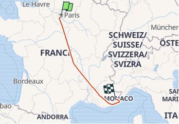

Length
822 km

Max alt
1445 m

Uphill gradient
25415 m
Km-Effort
1161 km

Min alt
-3 m

Downhill gradient
25492 m
Boucle
No
Creation date :
2021-09-19 09:03:00.541
Updated on :
2021-09-29 09:42:08.854
1h10
Difficulty : Very easy

FREE GPS app for hiking
 SityTrail
IGN / Geographical institutes
SityTrail Plus
The world is yours!
About
Trail Plane of 822 km to be discovered at Ile-de-France, Essonne, Wissous. This trail is proposed by jcm17.
Positioning
Country:
France
Region :
Ile-de-France
Department/Province :
Essonne
Municipality :
Wissous
Location:
Unknown
Start:(Dec)
Start:(UTM)
451312 ; 5397375 (31U) N.
Comments