


Le lac d'Estaing

micheldutilleul
User


Length
9.1 km

Max alt
1357 m

Uphill gradient
276 m
Km-Effort
12.8 km

Min alt
1158 m

Downhill gradient
277 m
Boucle
Yes
Creation date :
2021-09-29 08:56:49.405
Updated on :
2021-09-29 16:18:41.092
2h12
Difficulty : Easy

FREE GPS app for hiking
 SityTrail
IGN / Geographical institutes
SityTrail Plus
The world is yours!
About
Trail Walking of 9.1 km to be discovered at Occitania, Hautespyrenees, Estaing. This trail is proposed by micheldutilleul.
Description
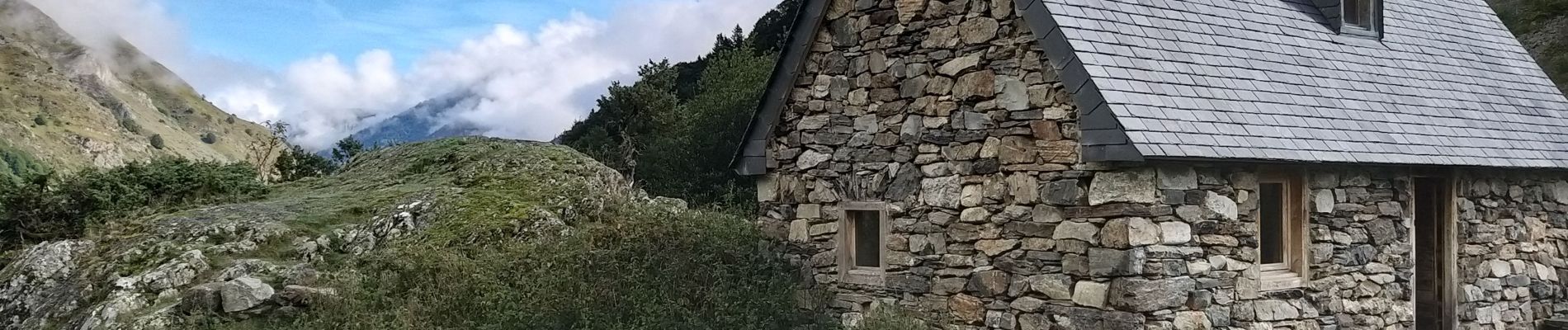
Le tour du lac d'Estaing et un aller/retour jusqu'au Pont de Plasi (1323m), en passant par la cabane de l'Oelhestre (refuge à 1239m)
Photos


Positioning
Country:
France
Region :
Occitania
Department/Province :
Hautespyrenees
Municipality :
Estaing
Location:
Unknown
Start:(Dec)
Start:(UTM)
728302 ; 4754574 (30T) N.
Comments