


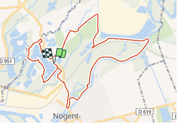

5.1 km | 6.3 km-effort


User


FREE GPS app for hiking
 SityTrail
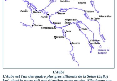
IGN / Geographical institutes
SityTrail World
The world is yours!
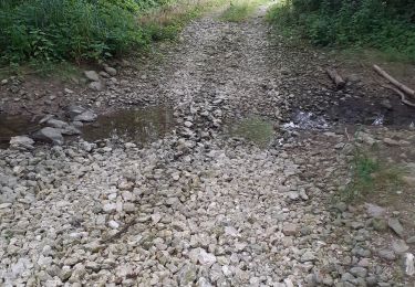
Trail Walking of 12.4 km to be discovered at Grand Est, Aube, Nogent-sur-Seine. This trail is proposed by NANE51.
Départ du parking des étangs

Walking
Walking
Walking

Walking
Hybrid bike

Road bike

Road bike

Walking
Other activity