


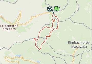
Rouge Gazon - Lacs des Perches et du Neuweiher - Col des Charbonniers

Bart2015
User


4h22
Difficulty : Medium

FREE GPS app for hiking
 SityTrail
IGN / Geographical institutes
SityTrail Plus
The world is yours!
About
Trail Walking of 12.6 km to be discovered at Grand Est, Vosges, Saint-Maurice-sur-Moselle. This trail is proposed by Bart2015.
Description
Très belle rando à faire un jour de plein soleil. Pour moi, sûrement la plus belle de la région ... De magnifiques vues plongeantes sur les lacs et les montagnes alentours ...
Pourquoi pas une petite halte à la Ferme Auberge du Gresson Moyen, réservation conseillée ...
Bonne chaussures de randonnée recommandées ...
Bonne rando, prenez-en plein les yeux ...
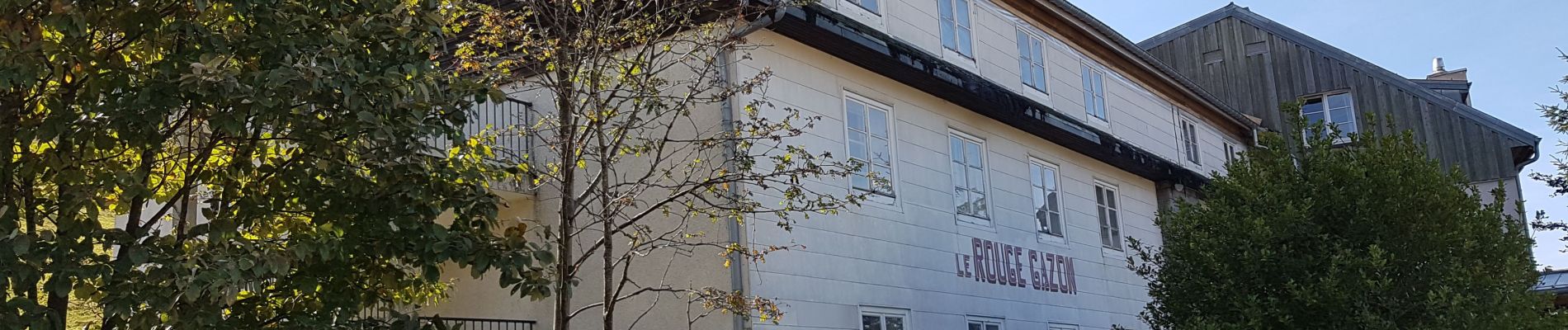
Photos


37 photos in total. Please click on a photo to see them all in the gallery.
Positioning
Comments