


mes mad

jmheydorff
User
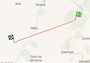

Length
15 km

Max alt
1047 m

Uphill gradient
961 m
Km-Effort
27 km

Min alt
694 m

Downhill gradient
744 m
Boucle
No
Creation date :
2021-10-01 13:59:59.585
Updated on :
2021-10-01 14:37:58.936
1m
Difficulty : Very easy

FREE GPS app for hiking
 SityTrail
IGN / Geographical institutes
SityTrail Plus
The world is yours!
About
Trail Plane of 15 km to be discovered at Aragon, Teruel, Estercuel. This trail is proposed by jmheydorff.
Positioning
Country:
Spain
Region :
Aragon
Department/Province :
Teruel
Municipality :
Estercuel
Location:
Unknown
Start:(Dec)
Start:(UTM)
701295 ; 4532766 (30T) N.
Comments