


4.2 km | 6.8 km-effort


User


FREE GPS app for hiking
 SityTrail
IGN / Geographical institutes
SityTrail World
The world is yours!
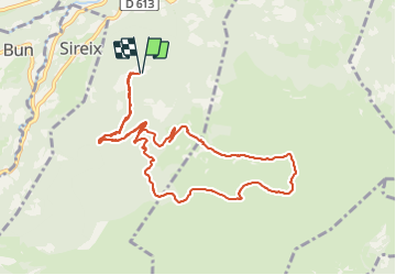
Trail Walking of 11.4 km to be discovered at Occitania, Hautespyrenees, Arras-en-Lavedan. This trail is proposed by micheldutilleul.
Randonnée faite au début de l'automne, au milieu des colchiques.
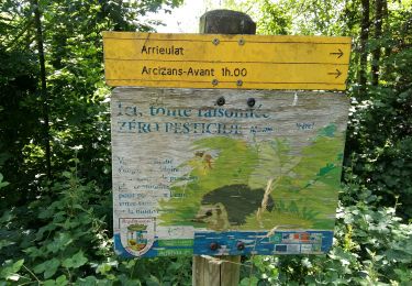
Passage par les cabanes d'Artigue, de Turon de Béne, de l'Abedet.
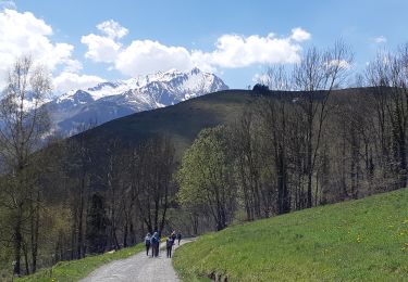
Des vues panoramiques à pertes de vues ...
Attention à ne pas s'égarer sur les sentiers au travers des bruyères et des fougères ...


Walking

Walking

Electric bike
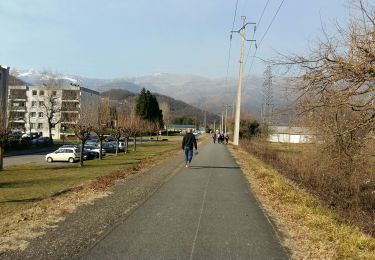
Walking
Walking
Walking
Walking
Walking
On foot