


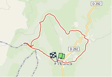

10.1 km | 22 km-effort

User


FREE GPS app for hiking
 SityTrail
IGN / Geographical institutes
SityTrail World
The world is yours!
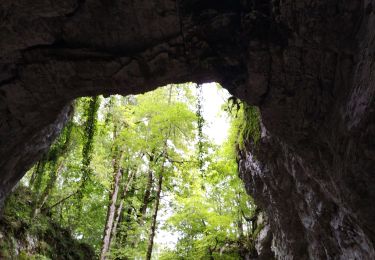
Trail Walking of 4.7 km to be discovered at Auvergne-Rhône-Alpes, Isère, Presles. This trail is proposed by crocau.
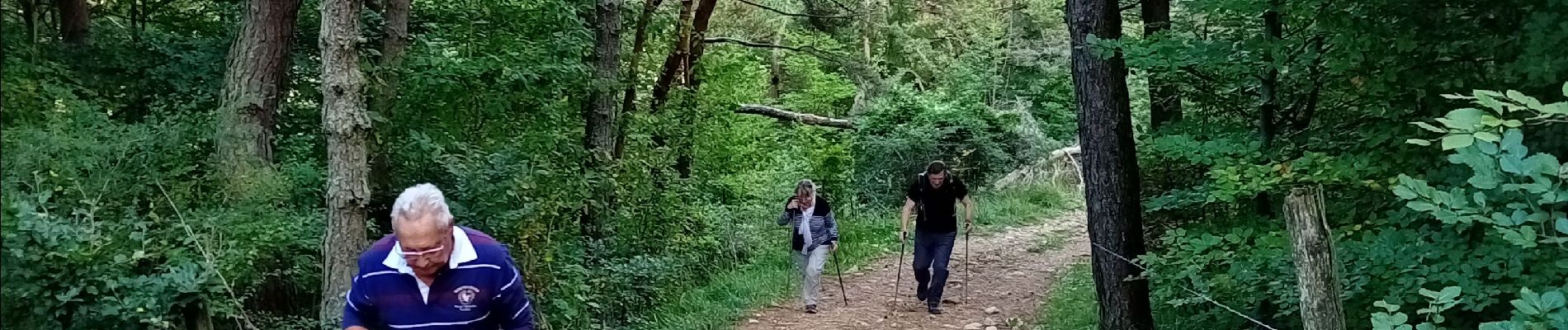
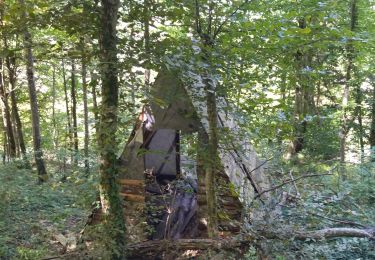
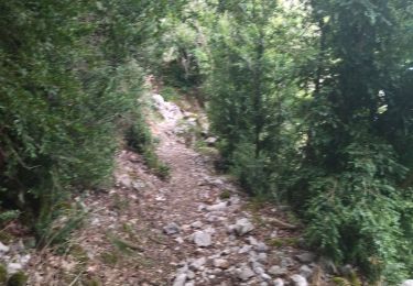
Une légère bavante puis une balade agréable et douce..Théoriquement se fait en 1h20 mais là on a traîné avec les seniors .


Walking

Walking

Walking
Walking
Walking
Mountain bike
Walking
Walking
Walking