


capde3

Patrick Castagne
User
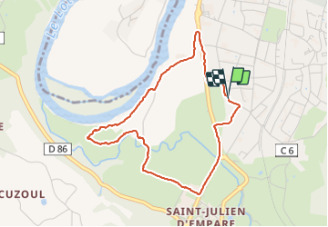

Length
4.2 km

Max alt
173 m

Uphill gradient
24 m
Km-Effort
4.6 km

Min alt
166 m

Downhill gradient
25 m
Boucle
Yes
Creation date :
2021-10-07 12:33:39.239
Updated on :
2021-10-07 14:12:31.732
1h35
Difficulty : Easy

FREE GPS app for hiking
 SityTrail
IGN / Geographical institutes
SityTrail Plus
The world is yours!
About
Trail Walking of 4.2 km to be discovered at Occitania, Aveyron, Capdenac-Gare. This trail is proposed by Patrick Castagne.
Positioning
Country:
France
Region :
Occitania
Department/Province :
Aveyron
Municipality :
Capdenac-Gare
Location:
Unknown
Start:(Dec)
Start:(UTM)
426597 ; 4935145 (31T) N.
Comments