


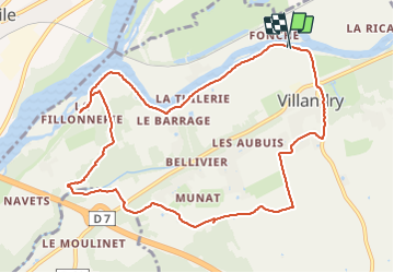
Vilandry jogging

Pierrannick
User

Length
11 km

Max alt
90 m

Uphill gradient
106 m
Km-Effort
12.4 km

Min alt
36 m

Downhill gradient
105 m
Boucle
Yes
Creation date :
2021-10-10 08:04:47.0
Updated on :
2021-10-10 09:50:06.114
1h10
Difficulty : Unknown

FREE GPS app for hiking
 SityTrail
IGN / Geographical institutes
SityTrail Plus
The world is yours!
About
Trail Running of 11 km to be discovered at Centre-Loire Valley, Indre-et-Loire, Villandry. This trail is proposed by Pierrannick.
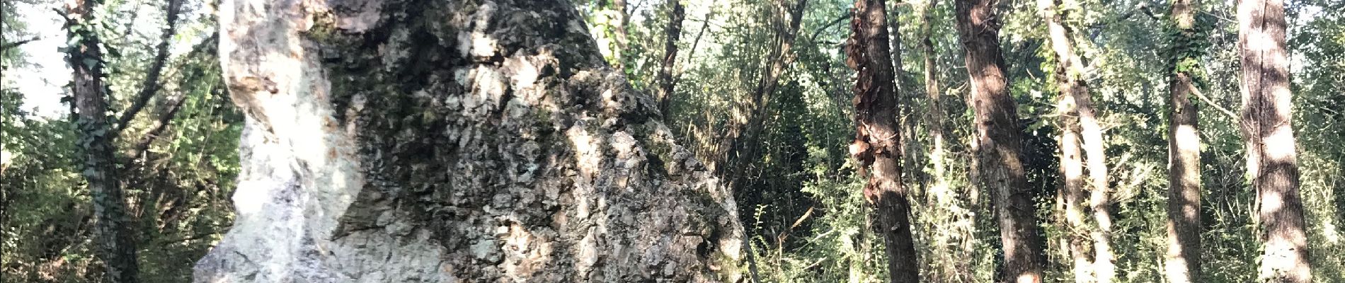
Photos

Positioning
Country:
France
Region :
Centre-Loire Valley
Department/Province :
Indre-et-Loire
Municipality :
Villandry
Location:
Unknown
Start:(Dec)
Start:(UTM)
311682 ; 5246490 (31T) N.
Comments