


Fontjoncouse Saint Victoire

Ada11
User GUIDE
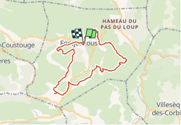

Length
18.3 km

Max alt
414 m

Uphill gradient
427 m
Km-Effort
24 km

Min alt
211 m

Downhill gradient
428 m
Boucle
Yes
Creation date :
2021-10-10 07:42:40.041
Updated on :
2021-10-10 14:30:48.545
4h44
Difficulty : Medium

FREE GPS app for hiking
 SityTrail
IGN / Geographical institutes
SityTrail Plus
The world is yours!
About
Trail Walking of 18.3 km to be discovered at Occitania, Aude, Fontjoncouse. This trail is proposed by Ada11.
Description
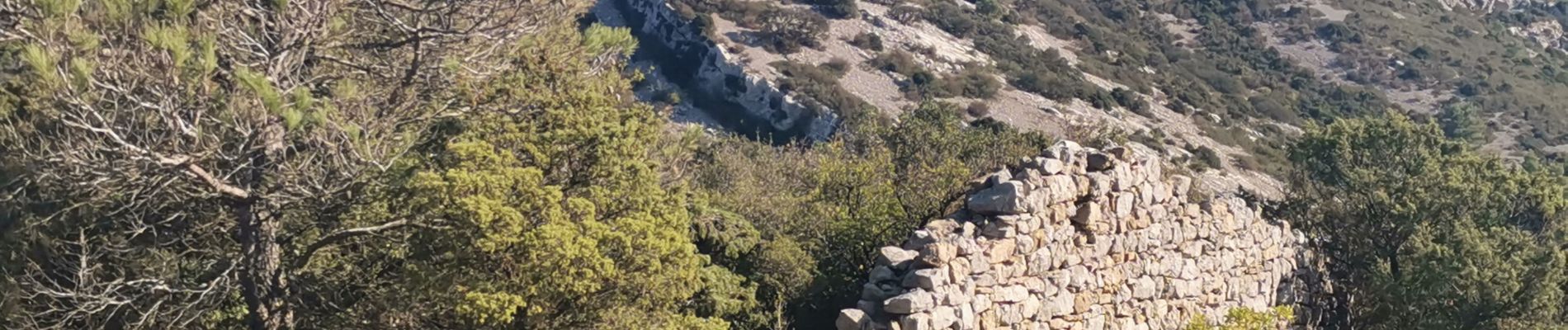
Four à chaux, dolmen, gros morceau en piste, se mettre en pantalon ça pique.
Photos


Positioning
Country:
France
Region :
Occitania
Department/Province :
Aude
Municipality :
Fontjoncouse
Location:
Unknown
Start:(Dec)
Start:(UTM)
482951 ; 4766126 (31T) N.
Comments