


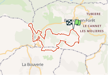
Crête Diaou et gorges du Blavet

ETMU5496
User

Length
22 km

Max alt
556 m

Uphill gradient
963 m
Km-Effort
34 km

Min alt
91 m

Downhill gradient
963 m
Boucle
Yes
Creation date :
2021-10-13 06:18:07.0
Updated on :
2021-10-18 17:04:19.442
5h46
Difficulty : Difficult

FREE GPS app for hiking
 SityTrail
IGN / Geographical institutes
SityTrail Plus
The world is yours!
About
Trail Walking of 22 km to be discovered at Provence-Alpes-Côte d'Azur, Var, Bagnols-en-Forêt. This trail is proposed by ETMU5496.
Description
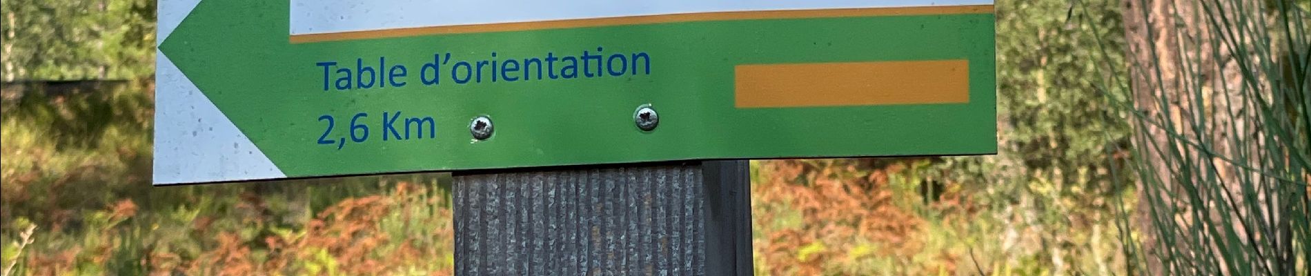
belle rando. Le terrain demeure particulièrement caillouteux
Photos


Positioning
Country:
France
Region :
Provence-Alpes-Côte d'Azur
Department/Province :
Var
Municipality :
Bagnols-en-Forêt
Location:
Unknown
Start:(Dec)
Start:(UTM)
313438 ; 4822271 (32T) N.
Comments