


GR_37_BB_29_Val-D'Ize_St-Aubin-Cormier_20211018

patrickdanilo
User
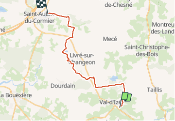

Length
21 km

Max alt
130 m

Uphill gradient
257 m
Km-Effort
24 km

Min alt
76 m

Downhill gradient
240 m
Boucle
No
Creation date :
2021-10-18 07:30:36.039
Updated on :
2022-02-09 13:52:01.888
4h45
Difficulty : Easy

FREE GPS app for hiking
 SityTrail
IGN / Geographical institutes
SityTrail Plus
The world is yours!
About
Trail Walking of 21 km to be discovered at Brittany, Ille-et-Vilaine, Val-d'Izé. This trail is proposed by patrickdanilo.
Description
GR®37
Cœur de la Bretagne
Du Mont-Saint-Michel (Manche) Normandie
à Camaret-sur-Mer (Finistère) Bretagne
780km
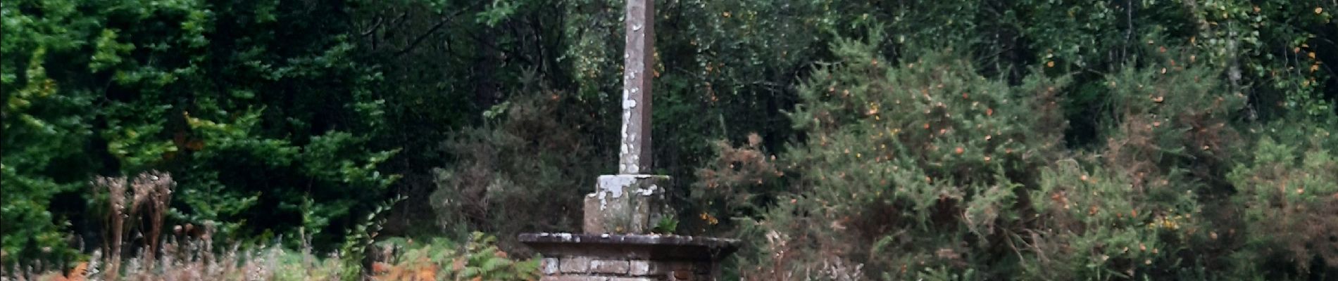
Photos


Positioning
Country:
France
Region :
Brittany
Department/Province :
Ille-et-Vilaine
Municipality :
Val-d'Izé
Location:
Unknown
Start:(Dec)
Start:(UTM)
627229 ; 5336842 (30U) N.
Comments