


cuges les pins le driou

michelpaulin
User
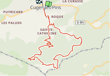

Length
13.6 km

Max alt
443 m

Uphill gradient
406 m
Km-Effort
19 km

Min alt
171 m

Downhill gradient
400 m
Boucle
Yes
Creation date :
2021-10-19 07:41:13.66
Updated on :
2021-10-19 13:47:55.085
3h45
Difficulty : Medium

FREE GPS app for hiking
 SityTrail
IGN / Geographical institutes
SityTrail Plus
The world is yours!
About
Trail Walking of 13.6 km to be discovered at Provence-Alpes-Côte d'Azur, Bouches-du-Rhône, Cuges-les-Pins. This trail is proposed by michelpaulin.
Description
belle rando
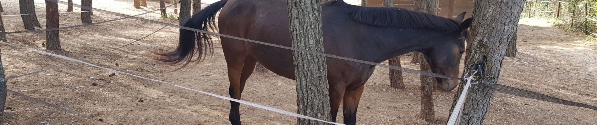
Photos


Positioning
Country:
France
Region :
Provence-Alpes-Côte d'Azur
Department/Province :
Bouches-du-Rhône
Municipality :
Cuges-les-Pins
Location:
Unknown
Start:(Dec)
Start:(UTM)
719172 ; 4794729 (31T) N.
Comments