Trail Walking Montbrun-des-Corbières - MONTBRUN DES CORBIERES rocher du renard - Photo

MONTBRUN DES CORBIERES rocher du renard

© OpenStreetMap contributors
Length
Length
7.4 km
Max alt
Max alt
199 m
Uphill gradient
Uphill gradient
144 m
Km-Effort
Km-Effort  
9.3 km
Min alt
Min alt
114 m
Downhill gradient
Downhill gradient
141 m
Boucle
Boucle
Yes
Creation date :
2021-10-20 12:30:02.905
Updated on :
2024-02-08 17:53:02.95

(0 Reviews)

Walking
Walking
1h30
Difficulty : Easy

Scan this QR Code to open this trail in the SityTrail application

FREE GPS app for hiking

Logo SityTrail SityTrail

IGN / Geographical institutes

Download SityTrail from the App Store Download SityTrail from Google Play

Logo SityTrail SityTrail World

The world is yours!

Download SityTrail from the App Store Download SityTrail from Google Play Download SityTrail on Huawei AppGallery

About

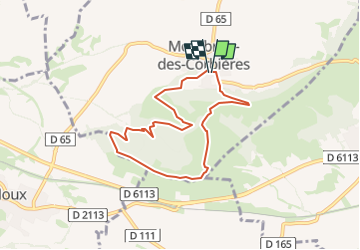
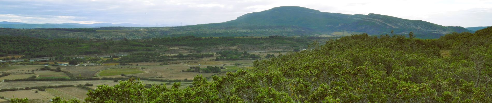
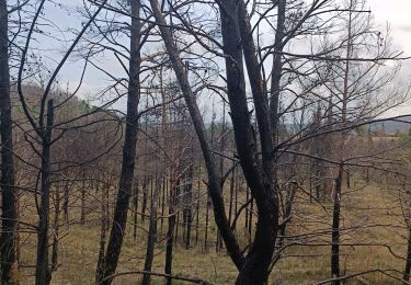
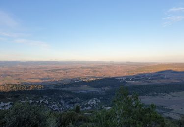
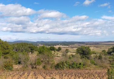
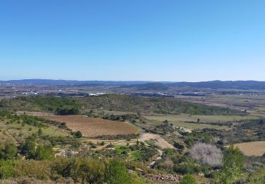
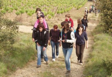
Trail Walking of 7.4 km to be discovered at Occitania, Aude, Montbrun-des-Corbières. This trail is proposed by Licianus2.

Description

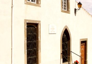
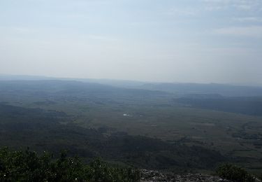
Petite variante au tracé balisé qui termine la descente vers le village par la piste.

Elevation profile

Photos

Positioning

Country:
France
Region :
Occitania
Department/Province :
Aude
Municipality :
Montbrun-des-Corbières
Location:
Unknown
Start:(UTM)
474377 ; 4782735 (31T) N.

Trails nearby

Trail Walking Montbrun-des-Corbières - Montbrun - Photo
Walking
belhache

Walking

Very easy
(1)
Montbrun-des-Corbières, Occitania, Aude, France
9.3 km | 11.6 km-effort
2h 21min
Yes
Trail Walking Moux - Sur les pas de Roland - Signal d'Alaric - La Caune  - Photo
Walking
jacques delaporte

Walking

Very difficult
Moux, Occitania, Aude, France
17 km | 26 km-effort
5h 25min
Yes
Trail Walking Moux - Le signal de  l'alaric - Photo
Walking
F.Rioland

Walking

Medium
Moux, Occitania, Aude, France
24 km | 32 km-effort
3h 37min
No
Trail Walking Escales - ESCALES - La tour Romane - Photo
Walking
Licianus2

Walking

Very easy
(1)
Escales, Occitania, Aude, France
4.2 km | 5.6 km-effort
1h 5min
Yes
Trail Walking Fontcouverte - FONCOUVERTE - variante au tracé balisé - Photo
Walking
Licianus2

Walking

Easy
(1)
Fontcouverte, Occitania, Aude, France
7.8 km | 10 km-effort
2h 6min
Yes
Trail Walking Conilhac-Corbières - CONILHAC Les Eoliennes - Photo
Walking
Licianus2

Walking

Very easy
(1)
Conilhac-Corbières, Occitania, Aude, France
7.4 km | 9.5 km-effort
1h 27min
Yes
Trail Walking Conilhac-Corbières - CONILHAC - lausines - Photo
Walking
Licianus2

Walking

Very easy
Conilhac-Corbières, Occitania, Aude, France
4.8 km | 6.6 km-effort
1h 31min
Yes
Trail Walking Castelnau-d'Aude - En Corbières - Le Bosquet - Castelnau d'Aude - Photo
Walking
tracegps

Walking

Medium
Castelnau-d'Aude, Occitania, Aude, France
4.8 km | 5.8 km-effort
2h 30min
Yes
Trail Running Fontcouverte - Défi de l'Alaric 2012 - Fontcouverte - Photo
Running
tracegps

Running

Difficult
Fontcouverte, Occitania, Aude, France
18.1 km | 26 km-effort
2h 30min
Yes


Close
My subscriptions