


Leucate R1

Phidel66
User

Length
71 km

Max alt
65 m

Uphill gradient
558 m
Km-Effort
79 km

Min alt
-3 m

Downhill gradient
541 m
Boucle
No
Creation date :
2021-10-21 12:00:24.145
Updated on :
2021-10-24 12:47:39.28
11h34
Difficulty : Very difficult

FREE GPS app for hiking
 SityTrail
IGN / Geographical institutes
SityTrail Plus
The world is yours!
About
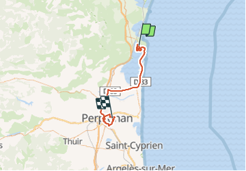
Trail Walking of 71 km to be discovered at Occitania, Aude, Leucate. This trail is proposed by Phidel66.
Description
romarin
Positioning
Country:
France
Region :
Occitania
Department/Province :
Aude
Municipality :
Leucate
Location:
Unknown
Start:(Dec)
Start:(UTM)
501970 ; 4750979 (31T) N.
Comments