


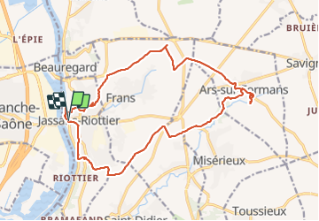
de Jassans à Ars

maclobar
User

Length
19.5 km

Max alt
263 m

Uphill gradient
229 m
Km-Effort
23 km

Min alt
166 m

Downhill gradient
229 m
Boucle
Yes
Creation date :
2021-10-24 07:45:36.915
Updated on :
2021-10-24 17:16:52.2
6h01
Difficulty : Very easy

FREE GPS app for hiking
 SityTrail
IGN / Geographical institutes
SityTrail Plus
The world is yours!
About
Trail Walking of 19.5 km to be discovered at Auvergne-Rhône-Alpes, Ain, Jassans-Riottier. This trail is proposed by maclobar.
Description
qq AR inutiles mais 17 km bon.poids
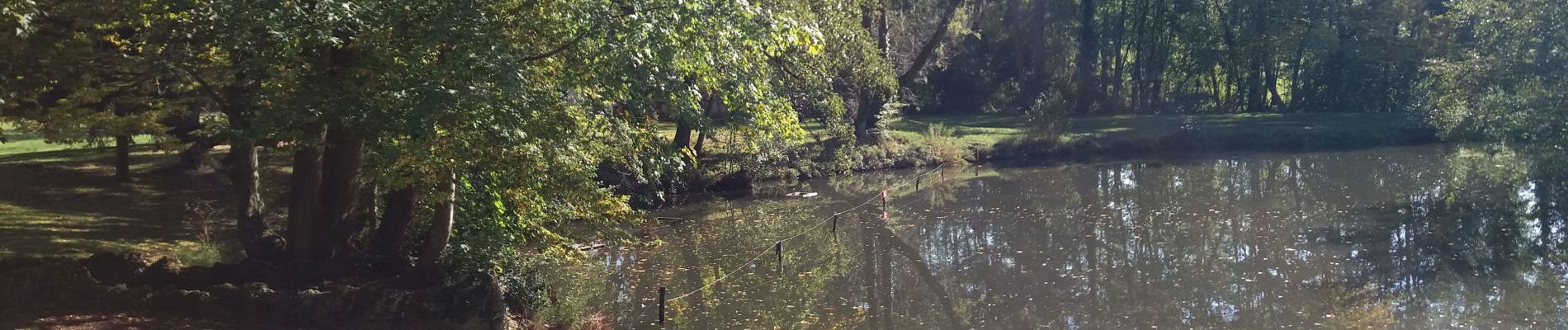
Photos


Positioning
Country:
France
Region :
Auvergne-Rhône-Alpes
Department/Province :
Ain
Municipality :
Jassans-Riottier
Location:
Unknown
Start:(Dec)
Start:(UTM)
635770 ; 5093891 (31T) N.
Comments