


Trezioux_Lestre_2

jagarnier
User GUIDE
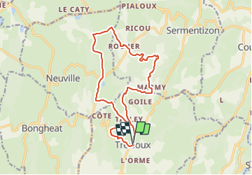

Length
16.2 km

Max alt
565 m

Uphill gradient
430 m
Km-Effort
22 km

Min alt
410 m

Downhill gradient
426 m
Boucle
Yes
Creation date :
2021-10-25 06:04:26.195
Updated on :
2023-06-21 14:54:23.862
5h00
Difficulty : Medium

FREE GPS app for hiking
 SityTrail
IGN / Geographical institutes
SityTrail Plus
The world is yours!
About
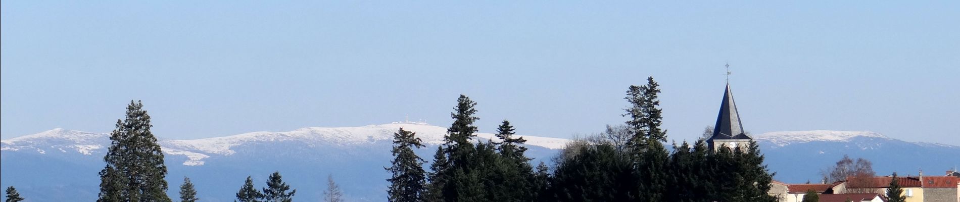
Trail Walking of 16.2 km to be discovered at Auvergne-Rhône-Alpes, Puy-de-Dôme, Trézioux. This trail is proposed by jagarnier.
Photos

Positioning
Country:
France
Region :
Auvergne-Rhône-Alpes
Department/Province :
Puy-de-Dôme
Municipality :
Trézioux
Location:
Unknown
Start:(Dec)
Start:(UTM)
536653 ; 5063346 (31T) N.
Comments
