


Vallée de Sans Souci

walrou63
User
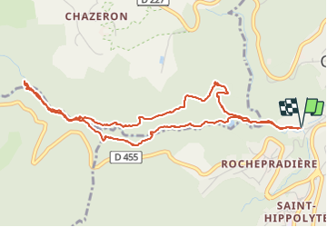

Length
5.8 km

Max alt
550 m

Uphill gradient
148 m
Km-Effort
7.8 km

Min alt
435 m

Downhill gradient
149 m
Boucle
Yes
Creation date :
2021-10-25 13:01:42.094
Updated on :
2021-10-25 15:20:11.868
2h18
Difficulty : Easy

FREE GPS app for hiking
 SityTrail
IGN / Geographical institutes
SityTrail Plus
The world is yours!
About
Trail Walking of 5.8 km to be discovered at Auvergne-Rhône-Alpes, Puy-de-Dôme, Châtel-Guyon. This trail is proposed by walrou63.
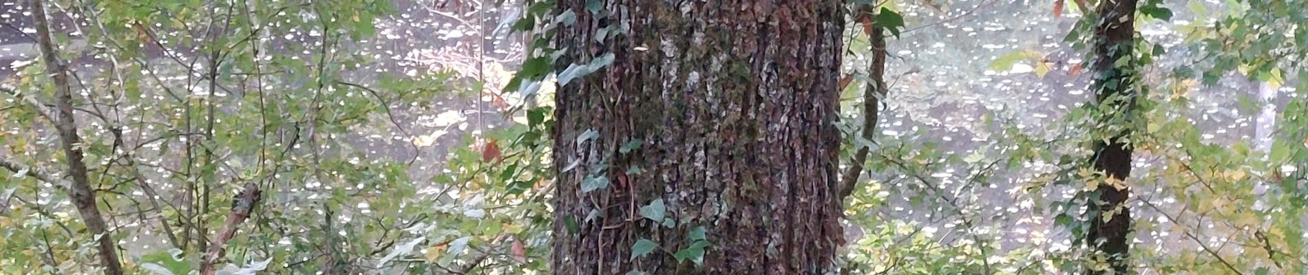
Photos


Positioning
Country:
France
Region :
Auvergne-Rhône-Alpes
Department/Province :
Puy-de-Dôme
Municipality :
Châtel-Guyon
Location:
Unknown
Start:(Dec)
Start:(UTM)
504242 ; 5084728 (31T) N.
Comments