


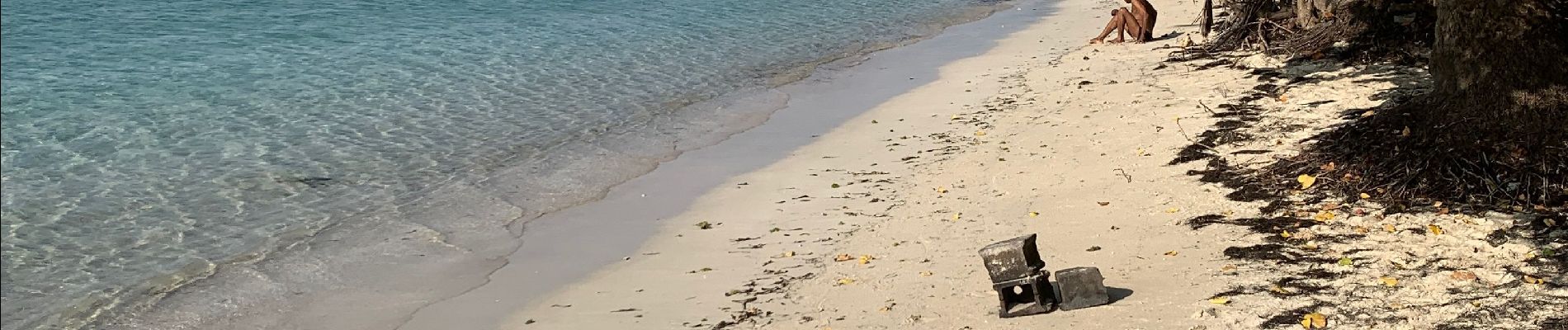
Bois Jolan le littoral

sameja
User


Length
4 km

Max alt
13 m

Uphill gradient
38 m
Km-Effort
4.5 km

Min alt
0 m

Downhill gradient
38 m
Boucle
No
Creation date :
2021-10-29 11:24:47.0
Updated on :
2021-10-29 12:23:15.946
52m
Difficulty : Easy

FREE GPS app for hiking
 SityTrail
IGN / Geographical institutes
SityTrail Plus
The world is yours!
About
Trail Running of 4 km to be discovered at Guadeloupe, Unknown, Sainte-Anne. This trail is proposed by sameja.
Description
St Anne
Photos


Positioning
Country:
France
Region :
Guadeloupe
Department/Province :
Unknown
Municipality :
Sainte-Anne
Location:
Unknown
Start:(Dec)
Start:(UTM)
679097 ; 1796358 (20Q) N.
Comments