


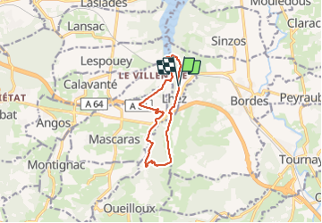

11.6 km | 14.9 km-effort


User


FREE GPS app for hiking
 SityTrail
IGN / Geographical institutes
SityTrail World
The world is yours!
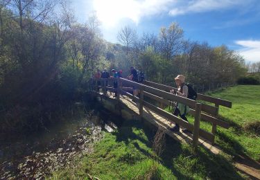
Trail Walking of 11.2 km to be discovered at Occitania, Hautespyrenees, Lhez. This trail is proposed by mitch1952.
Parking Mairie de Lhez. Départ rando prendre direction nord.


Walking

Walking
On foot
Walking
Mountain bike

Mountain bike

Mountain bike
Walking
Walking