


Nevache moi Pic du lac blanc

c.gourme
User

Length
14.7 km

Max alt
2969 m

Uphill gradient
1110 m
Km-Effort
30 km

Min alt
1862 m

Downhill gradient
1109 m
Boucle
Yes
Creation date :
2021-10-29 06:47:46.0
Updated on :
2021-10-29 14:46:49.131
6h27
Difficulty : Difficult

FREE GPS app for hiking
 SityTrail
IGN / Geographical institutes
SityTrail Plus
The world is yours!
About
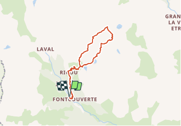
Trail Walking of 14.7 km to be discovered at Provence-Alpes-Côte d'Azur, Hautes-Alpes, Névache. This trail is proposed by c.gourme.
Description
Attention la trace est difficile à trouver au début de l’arrêté de la Cula : Kerne peu visible et descente dans des schistes difficile.
Positioning
Country:
France
Region :
Provence-Alpes-Côte d'Azur
Department/Province :
Hautes-Alpes
Municipality :
Névache
Location:
Unknown
Start:(Dec)
Start:(UTM)
306635 ; 4989707 (32T) N.
Comments